Geography
At High Ash, we aim to inspire a lifelong curiosity and fascination about the world and its people, equipping pupils with the knowledge and skills to make sense of the diverse places, environments, and human processes that shape our planet. Our learners leave each topic with a deeper sense of global awareness, environmental responsibility, and a strong appreciation of their own locality in Great Brickhill alongside contrasting communities worldwide.
Our Geography approach provides a comprehensive, progressive, and carefully sequenced curriculum using the Kapow Primary scheme, which aligns directly with the National Curriculum for Geography. It enables our teachers to deliver engaging, enquiry-based lessons using high-quality resources, interactive slides, and knowledge organisers that support all children in using geographical concepts, terms, and vocabulary with accuracy and confidence.
Our Approach:
-
Locational and Place Knowledge Pupils build a secure framework of world geography, identifying key human and physical characteristics of the UK, major continents, oceans, and contrasting regions globally. They develop a deep understanding of their local area while exploring how it compares and contrasts with communities around the world.
-
Geographical Enquiry and Fieldwork Hands-on enquiry is central to our curriculum. Through progressive fieldwork opportunities built into every year group, pupils observe, measure, record, and analyse evidence from their local environment using maps, compass points, grid references, and symbols. Lessons encourage pupils to ask perceptive questions and think critically like geographers.
-
Human and Physical Geography Pupils investigate the interconnected forces that shape our planet, from natural phenomena like weather, rivers, and volcanoes to human activities such as land use, trade, and urban development, building a foundation for environmental responsibility.
-
Geographical Skills and Mapping Children develop fluency in using age-appropriate maps, atlases, globes, and digital mapping tools. Skills are built systematically year-on-year, reinforcing spatial awareness and enabling pupils to interpret diverse geographical data.
-
Inclusive, Accessible and Adaptive Lessons are adapted to allow every child to access learning and make optimal progress. Accessible vocabulary displays, visual modelling, adapted tasks, and additional adult support ensure that all pupils, including those with SEND, can engage fully with geographical learning.
-
Progression, Assessment and Consistency Using Kapow's structured framework, learning progresses clearly across year groups. Workbooks are structured with clear learning intentions, knowledge organisers, and sticky knowledge recaps. Teachers utilise live feedback, retrieval practice, such as quizzes and vocabulary checks, and end-of-unit assessments to track understanding, ensuring consistent, high-quality geography teaching across the entire school.
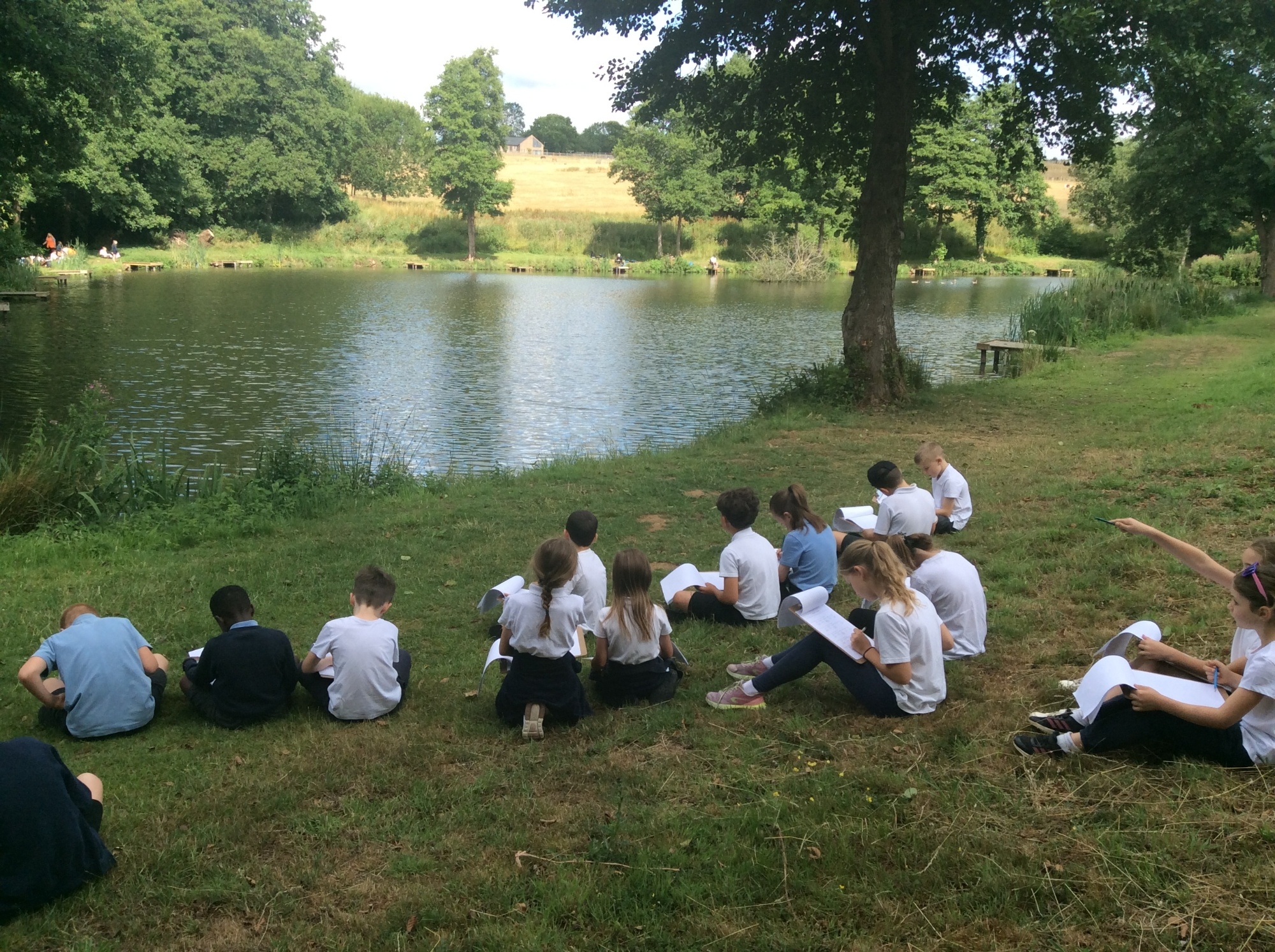
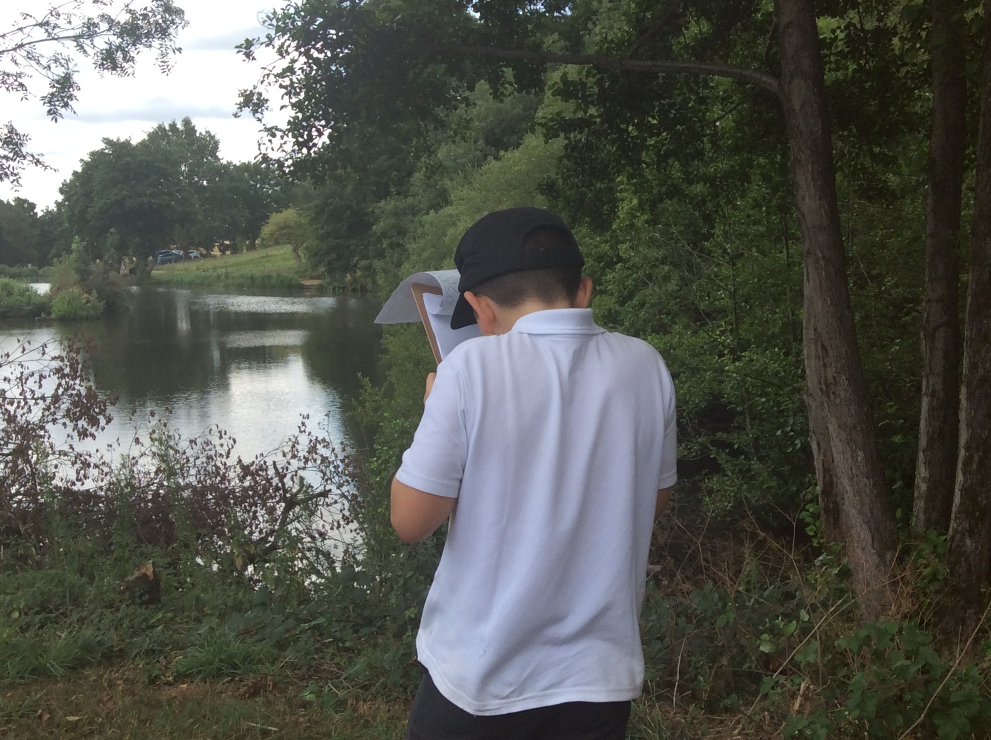
The children in Year 3/4 enjoyed a field trip to the local fisheries to study rivers. They explored the features of a local river, collected data and used a Likert scale to assess the quality of the environment. The children then used their findings to suggest ways the river environment could be improved.
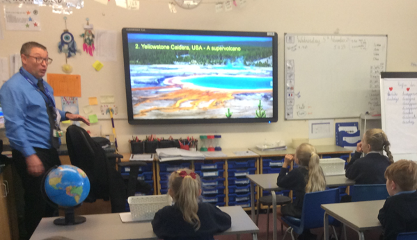
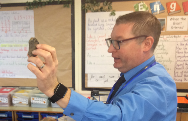
The children enjoyed a visit from Mr Pye, Head of Geography at Cottesloe School, who shared his expert knowledge about volcanoes. The children loved learning from a specialist and deepened their understanding through engaging, hands-on activities.
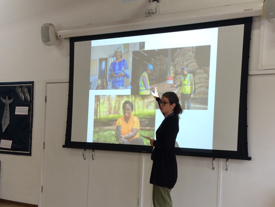
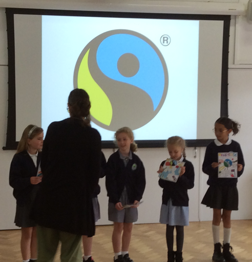
During our ‘Where Does Our Food Come From?’ topic, Year 3/4 enjoyed a special visit from Sally from Fairtrade. The children discovered how Fairtrade supports farmers and communities around the world, bringing their geography learning to life and developing a deeper understanding of how the choices we make can have an impact on people across the globe.
.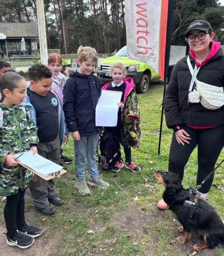
The children had a fantastic fieldwork visit to Rushmere Country Park to investigate how the local woodland is used. The children mapped their route, considered how to stay safe and used a range of fieldwork techniques to collect data, including sketching, tally charts and questionnaires. Here, the children are putting their geographical enquiry skills into action by surveying a member of the public about how they use the woodland.